
Members
More places to pause
Unlock more scenic pauses, viewpoints and worthwhile stops along this stretch.
Members unlock 3 more places to pause on Inveraray → Oban

~60 miles
~1hr 45mins
(Direct)
Full day
“WC300 Traveller's NoteBeyond Loch Fyne, the road begins to follow the sea. From here onwards, every mile carries you further into Scotland’s Atlantic west.”
Leaving Inveraray, the WC300 follows Loch Fyne south before turning inland to Lochgilphead and the open country of mid-Argyll. Beyond it lies Kilmartin Glen, one of Scotland’s richest concentrations of prehistoric monuments — cairns, standing stones and ancient earthworks scattered across a quietly remarkable landscape.
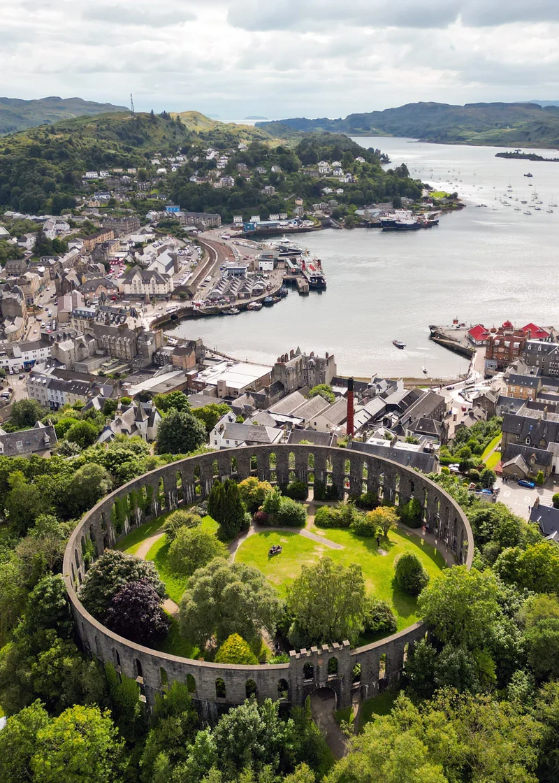
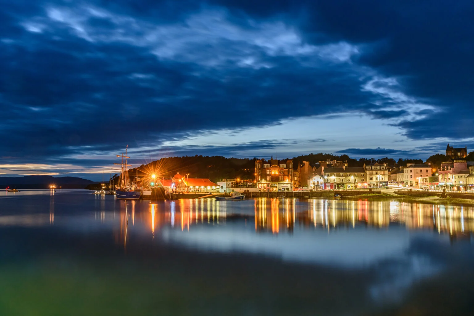
From Kilmartin the route turns west to meet the coast near Arduaine, then north through Kilmore towards Oban. The descent into town delivers a real sense of arrival: a working harbour framed by ferries and fishing boats, McCaig’s Tower on the hill above, and the islands of the Firth of Lorn spread out across the water — the WC300’s first proper west coast town.
WC300 Weather
Forecast for key points along this route segment. This is the basic forecast; members unlock deeper route-aware weather intelligence.
Basic weather is available to everyone. Members get deeper route-aware forecasts, including the next few hours, 7-day outlook, start/mid/end route conditions and practical guidance for when to drive, stop, walk, photograph and explore.
Explore WC300 Membership Designed for real journeys on the WC300 Core Route and WC300+ Extensions.Pause Here
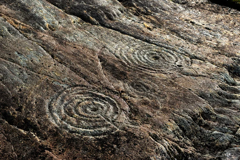
The string of Neolithic cairns on the valley floor is walkable from the road. The scale and age of the monuments is best understood on foot.
Members
Unlock more scenic pauses, viewpoints and worthwhile stops along this stretch.
Members unlock 3 more places to pause on Inveraray → Oban
Pause Here
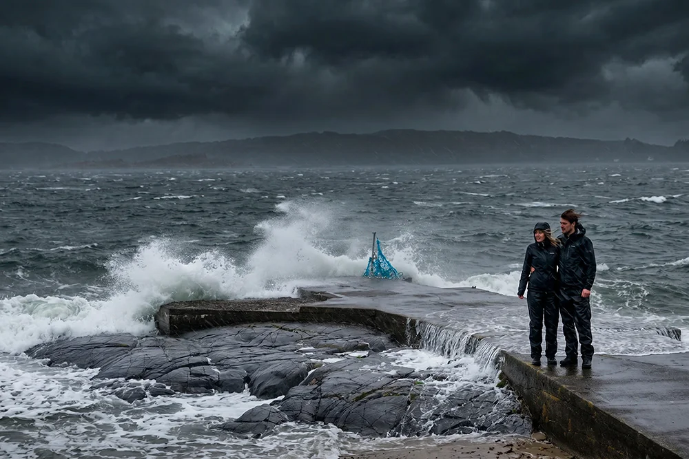
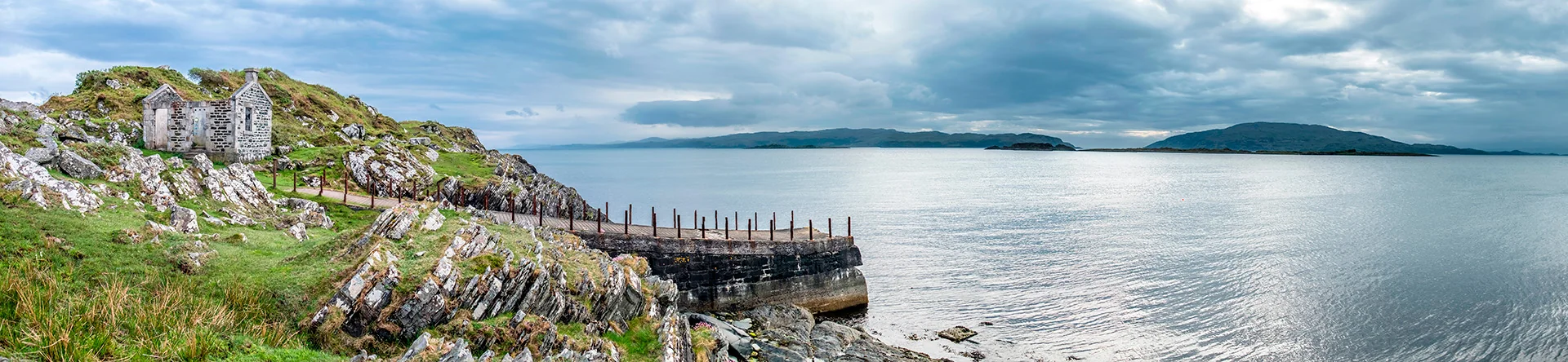
This small slipway offers an unfiltered glimpse of Scotland’s Atlantic coast. On calm days the water stretches quietly towards the islands, but when the weather turns the sea becomes part of the spectacle. Waves crash against the rocks, the wind carries the salt spray inland, and the coastline reveals a wilder side of Argyll that fair-weather photographs rarely capture.
The A83 follows Loch Fyne south from Inveraray. The loch narrows as the road progresses and the hills of Cowal rise across the water. A quieter stretch than the northern shore.
The principal town of mid-Argyll, sitting at the head of Loch Gilp. A practical pause point — fuel, provisions and the last services before Kilmartin Glen.
One of Scotland’s most significant prehistoric landscapes. Over 350 ancient monuments within a six-mile radius — cairns, stone circles, rock art and standing stones spanning five thousand years of human activity. The landscape is open and quietly compelling.
The natural base for exploring the glen. The parish church contains a remarkable collection of medieval grave slabs and early Christian carved stones gathered from across mid-Argyll.
Where the route meets the Argyll coast, views open west across the Firth of Lorn toward Luing, Scarba and the distant outline of Jura. The coastline is rocky and indented, with small sea lochs cutting inland.
The distinctive church tower at Kilmore is an easily recognised landmark on the approach to Oban.
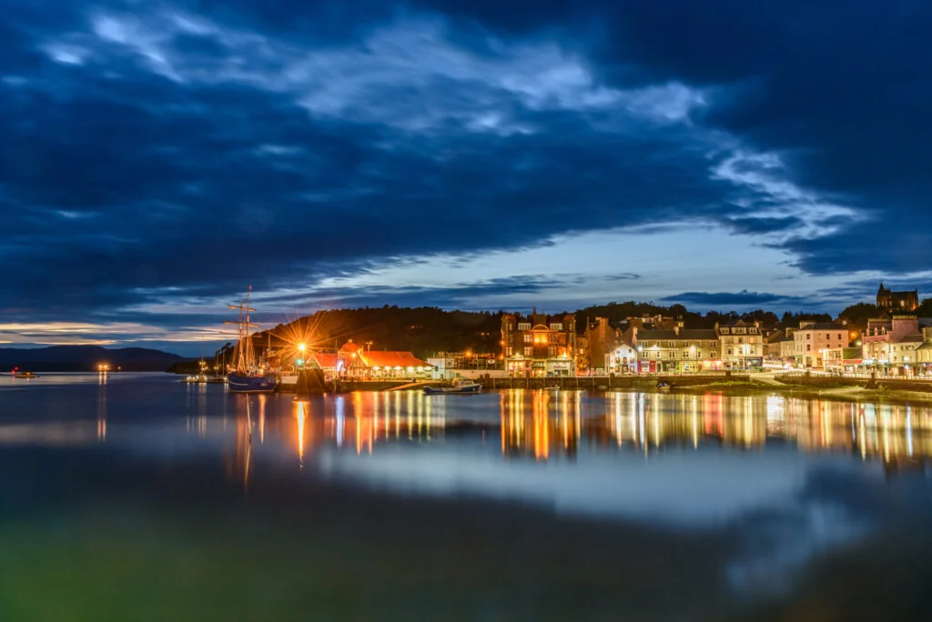
The principal town of the west Highland coast and the WC300’s first major arrival point. The harbour is active with CalMac ferries serving the islands. McCaig’s Tower on the hill above gives commanding views across the bay and islands.
Photography Tip
The stretch between Arduaine and Kilmelford offers some of the finest evening light on the route. Low sun catches the islands offshore while the sea reflects the changing sky.
Photography Highlights
Open valley floor with ancient cairns as foreground. Overcast light works well — no harsh shadows on the stonework. Early morning before other visitors arrive.
Best time: Early morning
Best season: April–October
Photography Highlights
Elevated view across the Moine Mhòr wetlands and Kilmartin Glen. The carved footprint in the rock is a compelling close-up subject.
Best time: Morning
Best season: May–September
Members
Unlock more viewpoints, compositions and photography opportunities along this stretch.
Location, timing and composition guidance for better results.
Members unlock 3 more photography locations on Inveraray → Oban
Lesser Known Stops
Visible from the A816 as a rocky summit rising from the Moine Mhòr wetland. The short walk to the summit is straightforward and the carved inauguration stones are among the most historically significant in Scotland. Passed by most travellers without a second glance.
Lesser Known Stops
One of the largest remaining lowland raised bogs in Britain. A boardwalk trail crosses the wetland — birdlife including hen harrier, curlew and snipe is exceptional in spring and early summer.
Members
Unlock more quiet corners, overlooked places and local discoveries along this stretch.
Members unlock 2 more lesser-known stops on Inveraray → Oban
Allow Extra Time For
Allow a minimum of two hours; three is more realistic for anyone walking between sites. The glen makes more sense at walking pace than from the car.
Allow Extra Time For
Twenty minutes return to the summit. The view and the carved stones justify the climb. Most A816 travellers do not stop.
Members
Unlock more worthwhile stops, short walks and places that deserve a little longer.
Members unlock 1 more place worth slowing down for on Inveraray → Oban
Wildlife Intelligence
Local Knowledge

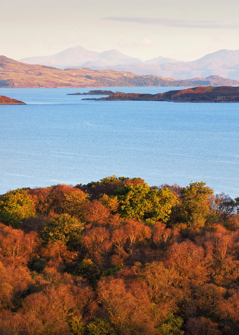
Loch Craignish with the islands beyond – the coastline begins to open towards the Atlantic. On clear days, the western horizon hints at islands still to come.

Members
Members unlock carefully selected hidden roads, quiet diversions and rewarding alternatives.
Carefully selected diversions researched for WC300 members.
Members unlock 3 more secret routes and diversions on Inveraray → Oban