
Into the Heart of the Glen

Corran → Glencoe

A short distance that delivers one of the most dramatic shifts in landscape on the entire route

~20 miles

Approximately 32 km

~30 mins

(Direct)

Half day

A short segment by distance, but one that rewards time for viewpoints and pauses
Ferry atmosphere, loch views and a dramatic mountain arrival
Onich · Ballachulish · Loch Leven · Glencoe
Good — 24hr fuel at Onich and Ballachulish
Patchy — EE generally most reliable; O2 has notable gaps around Glencoe
Ballachulish (village and Co-op car park) · Glencoe village

Into the Heart of the Glen

Overview: Corran – Glencoe

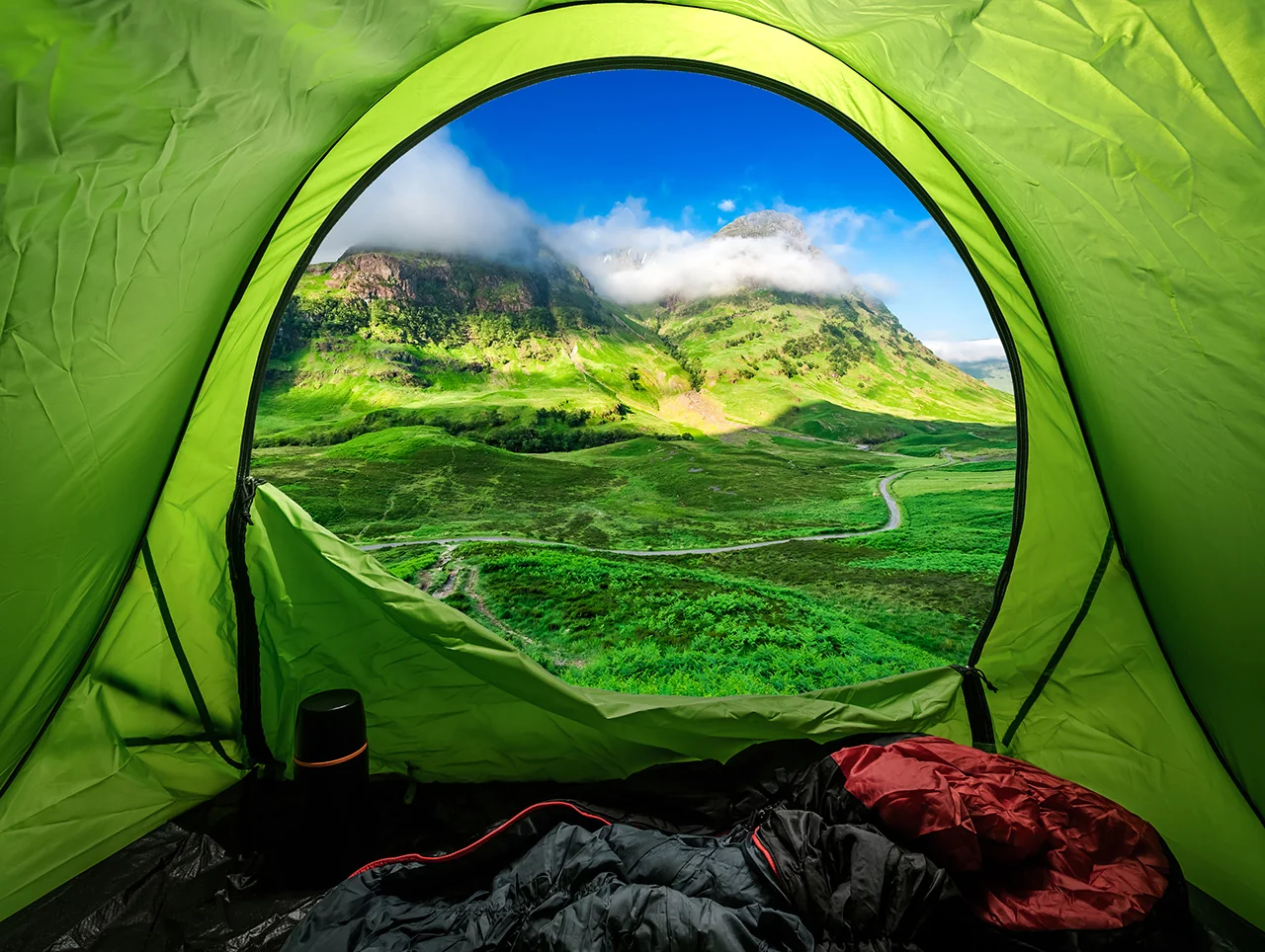
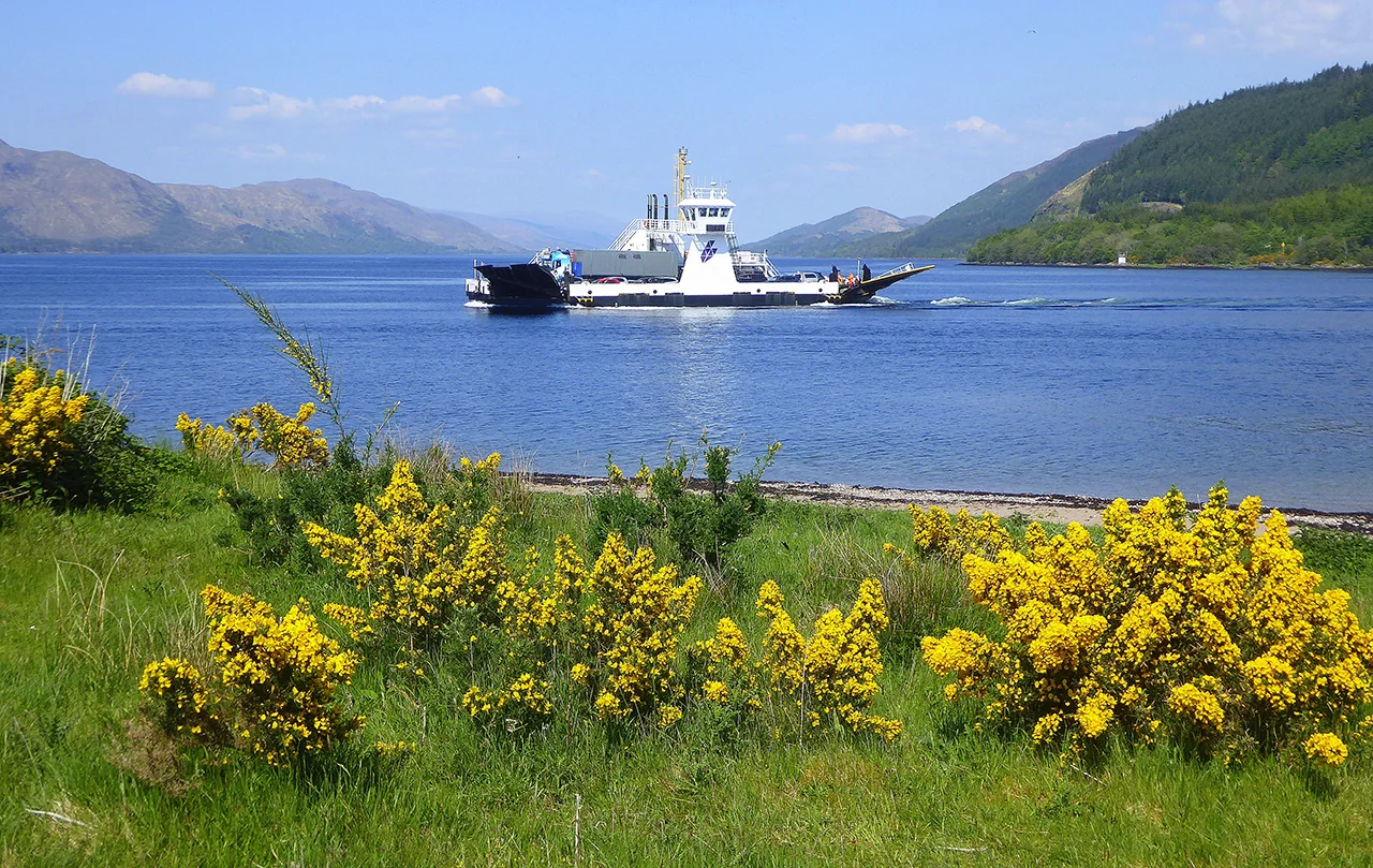
Leaving the Corran Ferry, the road traces the shore of Loch Linnhe before turning inland, the hills closing in and the open coastal feel giving way to something more contained. This is the threshold of Glencoe — a landscape that gathers around you rather than sitting at a distance.

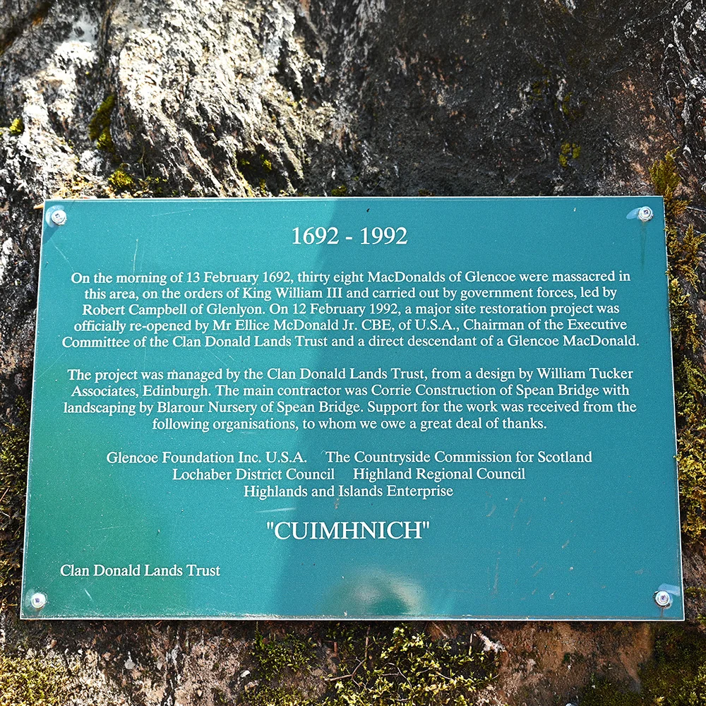
Glencoe’s power lies as much in what is felt as what is seen, its beauty inseparable from the Massacre of 1692 and the weight it still casts over the glen. This is not a drive to rush — the mountains ask for slower movement and pulled-over pauses, the road giving way to the landscape itself.

Weather

WC300 Weather

Basic route weather

Forecast for key points along this route segment. This is the basic forecast; members unlock deeper route-aware weather intelligence.

Corran → Glencoe
Mid-route Partly cloudy 15°C
Rain
1%
Wind
2 mph WNW

Unlock full WC300 weather intelligence

Basic weather is available to everyone. Members get deeper route-aware forecasts, including the next few hours, 7-day outlook, start/mid/end route conditions and practical guidance for when to drive, stop, walk, photograph and explore.

Explore WC300 Membership Designed for real journeys on the WC300 Core Route and WC300+ Extensions.
Last updated: 2026-08-22 08:15:25 Powered by Met Office data

Pause Here

North Ballachulish shoreline

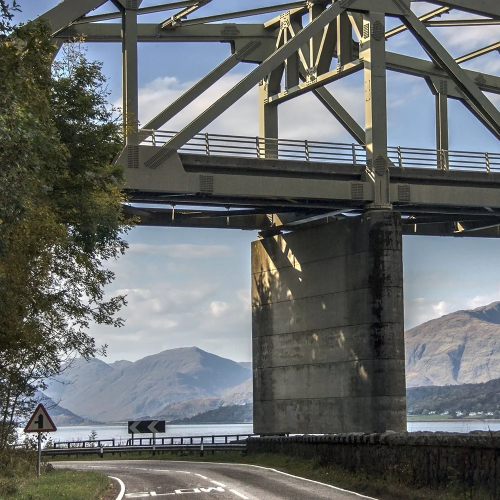
Before crossing Ballachulish Bridge, find a safe place to stop and walk towards the shoreline. The view opens across Loch Leven towards the mountains, and the old ferry crossing gives this short stop more interest than the roadside first suggests. It is usually considerably quieter than the main Glencoe viewpoints.
Things to see and do

Route Highlights

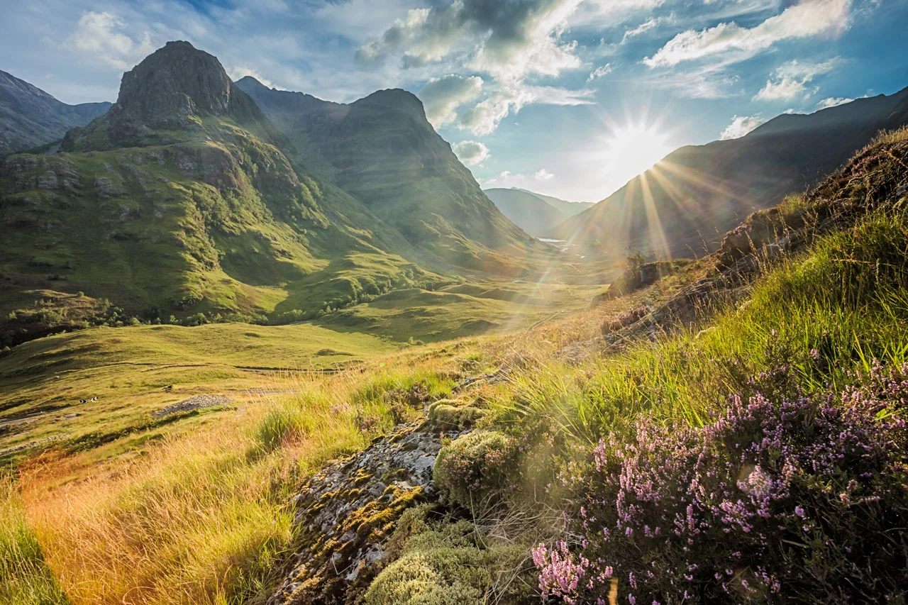
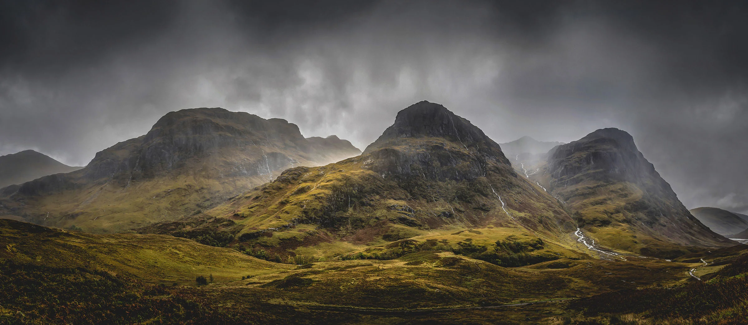
The Three Sisters mountains in Glen Coe beneath dark rain clouds

The Three Sisters seen in typical Glen Coe weather, with rain feeding the burns and low cloud moving across the upper slopes. The view can change completely in a matter of minutes.

Wildlife & Nature

Wildlife Intelligence

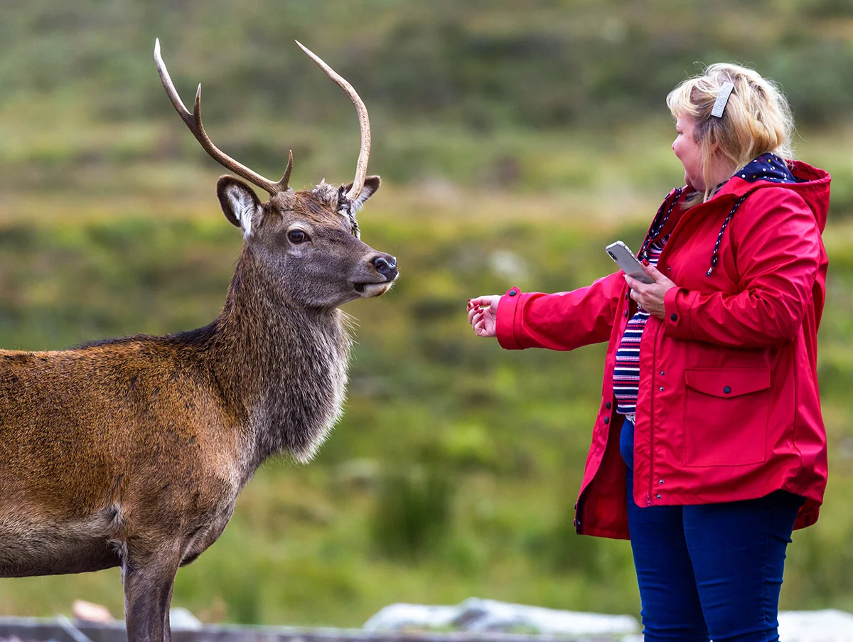
  • Red deer – common throughout Glencoe, especially in winter when they come down to the roadside for salt; most visible early morning
  • Golden eagle – nests among the remote corries above the glen; scan the high ridgelines on clear days
  • Otter – Loch Leven shoreline near Ballachulish and Onich; early mornings and evenings most productive
  • Common seal – haul out on the shores of Loch Linnhe near Onich and North Ballachulish; visible from the road
  • Pine marten – present in the woodland around Glencoe; nocturnal, occasionally seen at dusk

Local Knowledge

Local Knowledge

  • Red deer come right down to the roadside in winter for salt – slow down and watch for them, especially at dusk
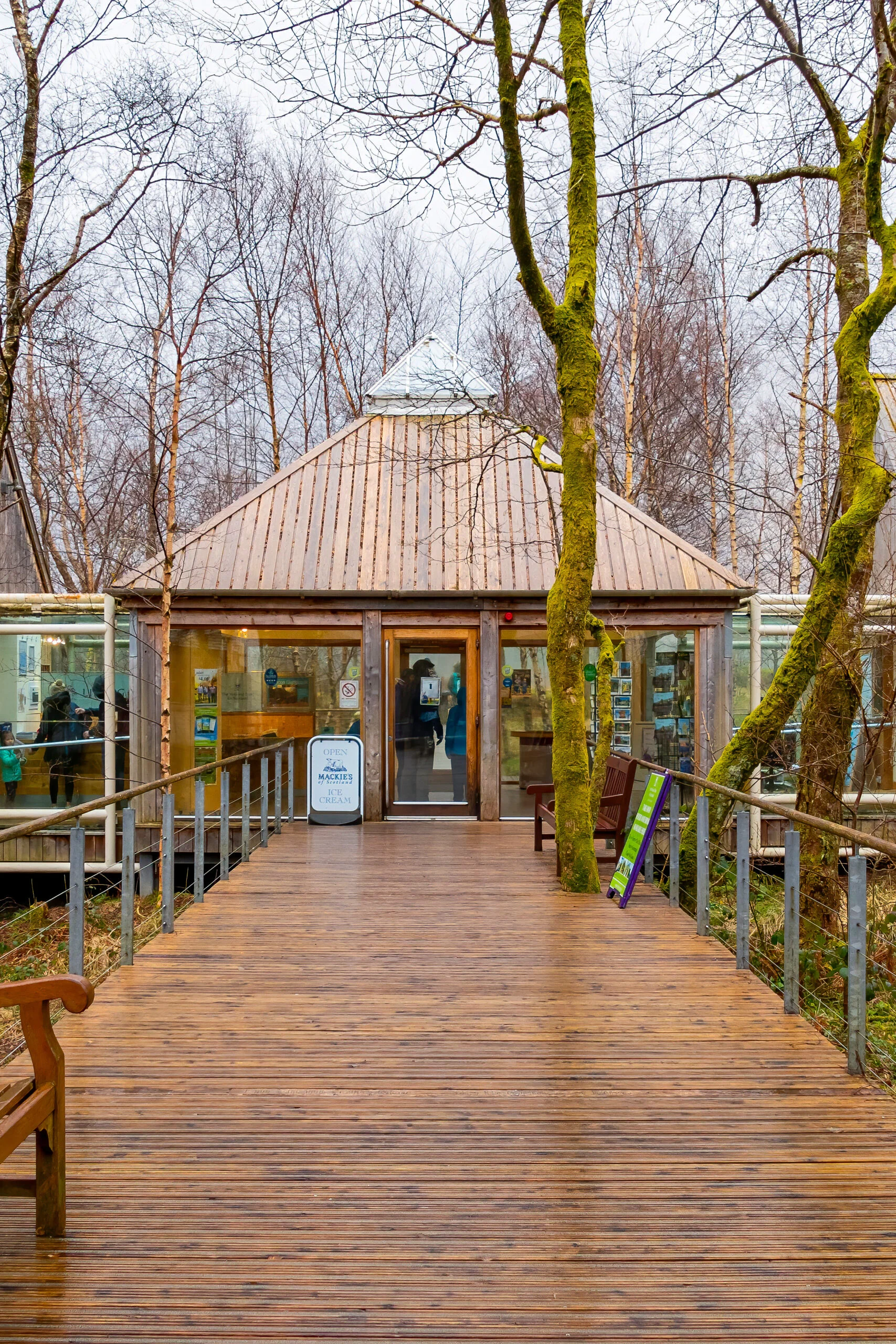
  • The Glencoe Visitor Centre is worth the stop even briefly – the context changes how the glen feels afterwards
  • Loch Leven’s seals are easiest to spot from the Onich shore, away from passing traffic
  • Ballachulish Bridge replaced a historic ferry crossing in 1975 – the old ferry slipways are still visible on both shores
  • This isn’t a segment to rush – pull-ins along Loch Leven give some of the best photography light in early morning
  • Winter travel can bring closures on the approach through Glencoe – check conditions if travelling outside summer

Good to Know

  • Fuel – 24hr station at Onich/North Ballachulish, plus a station in Glencoe village
  • Toilets – Glencoe Visitor Centre when open; otherwise Glencoe village, Ballachulish or the Corran ferry jetty
  • Mobile signal – patchy; EE generally most reliable; notable gaps around Glencoe
  • Ballachulish Bridge – opened in 1975, crossing the narrows between Loch Leven and Loch Linnhe
  • Parking – free car park at Ballachulish; Glencoe Visitor Centre has its own on-site parking
  • Glencoe Visitor Centre – worth a stop for context on the massacre and the glen’s geology before continuing into the pass
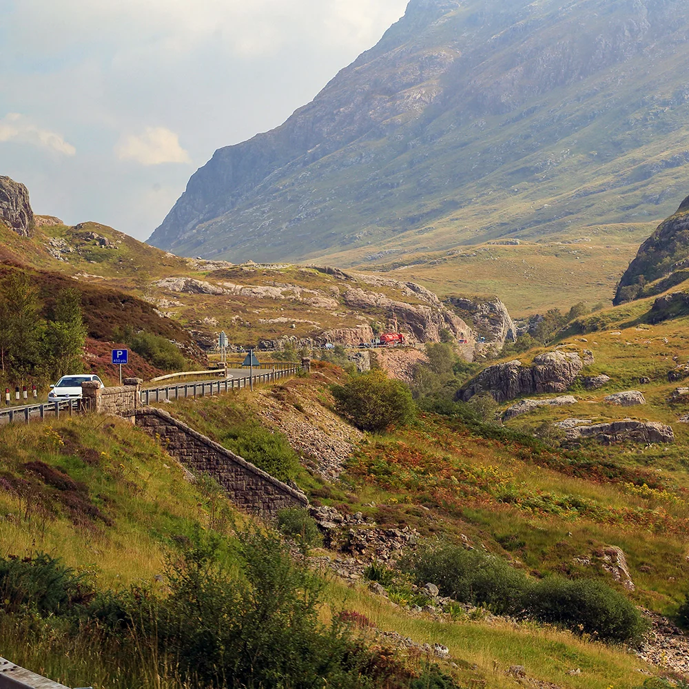
  • Road type – A82 throughout; well surfaced, but exposed to winter weather closures

History & Cultural

  • Massacre of Glencoe (1692) – government troops commanded by Robert Campbell of Glenlyon killed approximately 38 members of the MacDonald community after accepting their hospitality; others died while fleeing into the winter mountains.
  • Glencoe National Nature Reserve – protected for its distinctive volcanic geology and rare mountain habitats, among the oldest studied landscapes in the Highlands
  • Ballachulish Bridge (1975) – replaced the historic Ballachulish ferry, finally linking North and South Ballachulish by road across the narrows between Loch Leven and Loch Linnhe
  • Ballachulish slate quarries – worked from the 17th century until 1955; the quarried hillside above the village remains clearly visible
  • Loch Leven crossing – before the bridge, generations of travellers relied on the ferry to link Appin and Ardgour with routes north to Fort William

Corran → Glencoe