
Members
More places to pause
Unlock more scenic pauses, viewpoints and worthwhile stops along this stretch.
Members unlock 1 more place to pause on Glencoe → Crianlarich

WC300 Weather
Forecast for key points along this route segment. This is the basic forecast; members unlock deeper route-aware weather intelligence.
Basic weather is available to everyone. Members get deeper route-aware forecasts, including the next few hours, 7-day outlook, start/mid/end route conditions and practical guidance for when to drive, stop, walk, photograph and explore.
Explore WC300 Membership Designed for real journeys on the WC300 Core Route and WC300+ Extensions.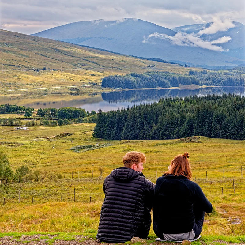
Pause Here
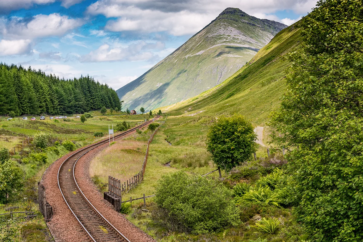
The elevated A82 viewpoint above Loch Tulla is one of the most rewarding stops on this section. From here, the view extends across the loch towards the Black Mount, with the road descending towards Bridge of Orchy below.
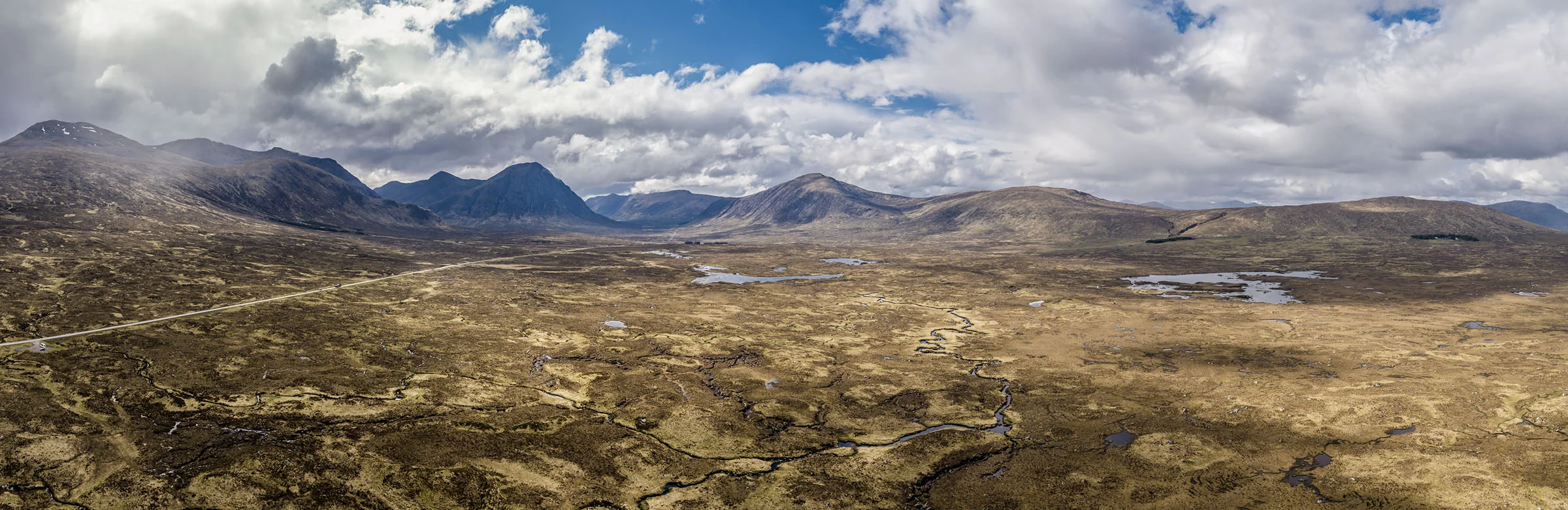
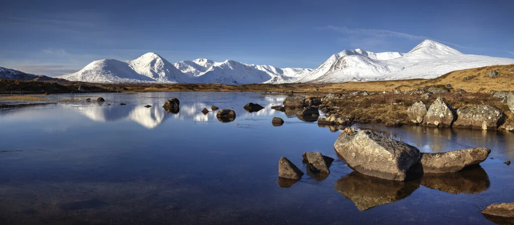
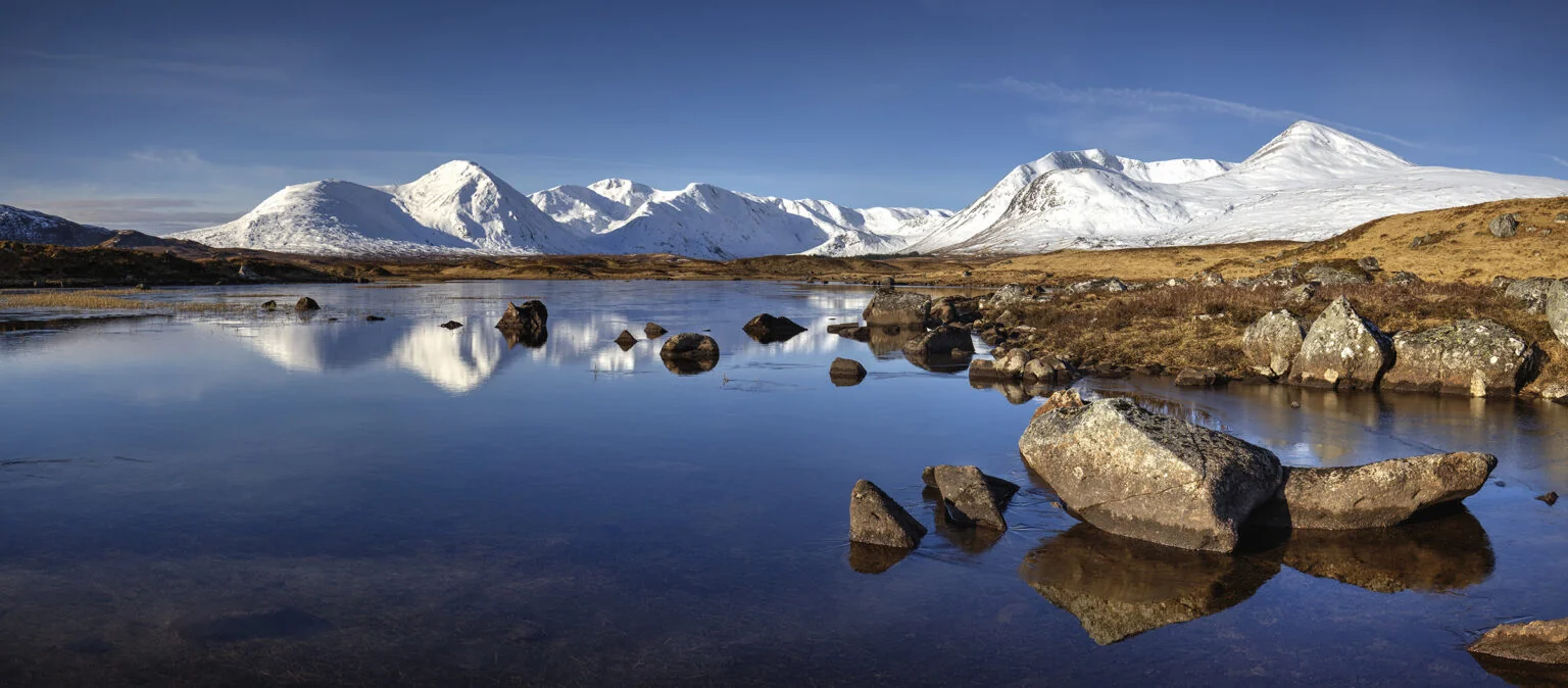
Rannoch Moor is a vast area of peatland, lochans and winding burns. The A82 follows its western edge towards Buachaille Etive Mòr, with few buildings or services across the exposed crossing.
Photography Highlights
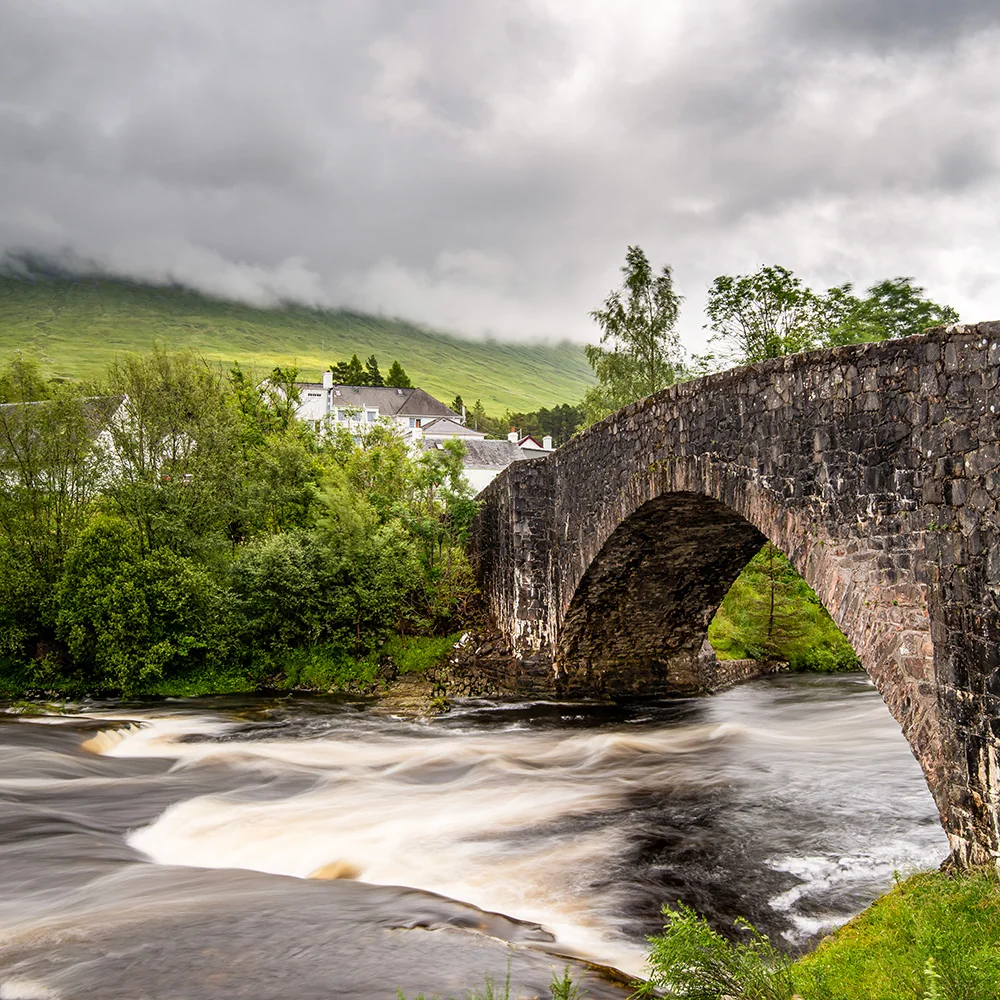
From the An Torr car park, follow the signed path across the first small bridge to the larger bridge over the River Coe. Here, use the river and its boulders to lead the eye towards the glen.
The full guide is available to WC300 members.
Members
Unlock more viewpoints, compositions and photography opportunities along this stretch.
Location, timing and composition guidance for better results.
Members unlock 2 more photography locations on Glencoe → Crianlarich
Lesser Known Stops
In Tyndrum’s community woodland, a small lochan carries a large story. Tradition says that weapons were thrown into water after Robert the Bruce’s defeat at Dalrigh.
The full guide is available to WC300 members.
Members
Unlock more quiet corners, overlooked places and local discoveries along this stretch.
Members unlock 1 more lesser-known stop on Glencoe → Crianlarich
Allow Extra Time For
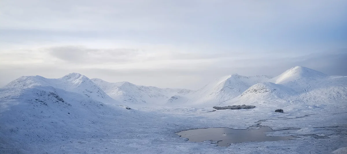
The access chairlift at Glencoe Mountain changes the way you see Rannoch Moor. Instead of watching individual pools pass the car window, take time to read the wider arrangement of water, peat and ridges from above.
The full guide is available to WC300 members.
Members
Unlock more worthwhile stops, short walks and places that deserve a little longer.
Members unlock 1 more place worth slowing down for on Glencoe → Crianlarich