

Members
More places to pause
Unlock more scenic pauses, viewpoints and worthwhile stops along this stretch.
Members unlock 3 more places to pause on Oban → Fort William
~45 miles
~1hr 15mins
(Direct)
One day
Coastal Roads to the Mountain
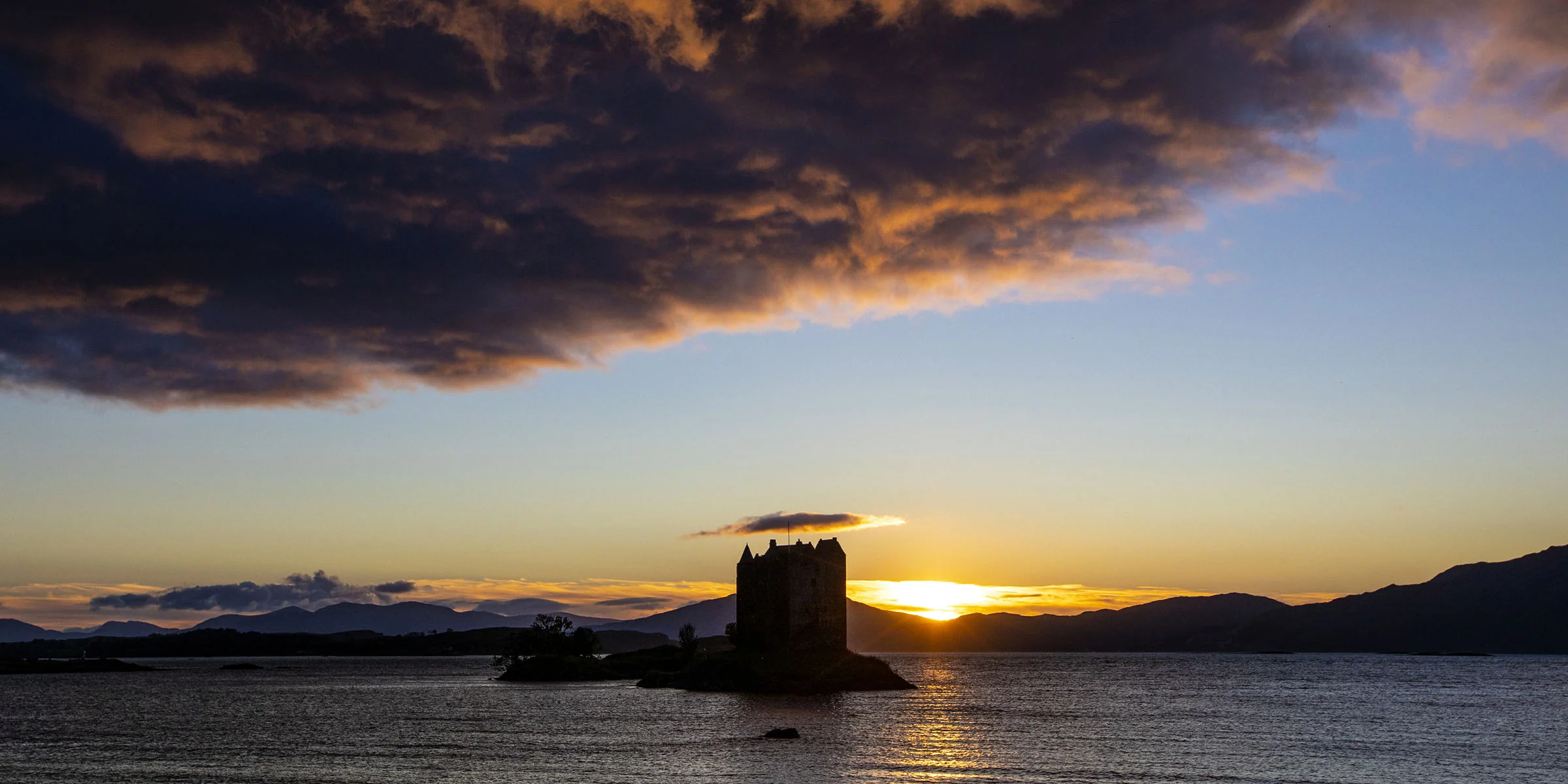
Leaving Oban, the road crosses Connel Bridge above the tidal narrows of Loch Etive before following the coast through Benderloch and the Appin peninsula. Sea views open west across Loch Linnhe towards Morven, and Castle Stalker appears on its tidal islet — one of the most striking roadside views in Scotland.
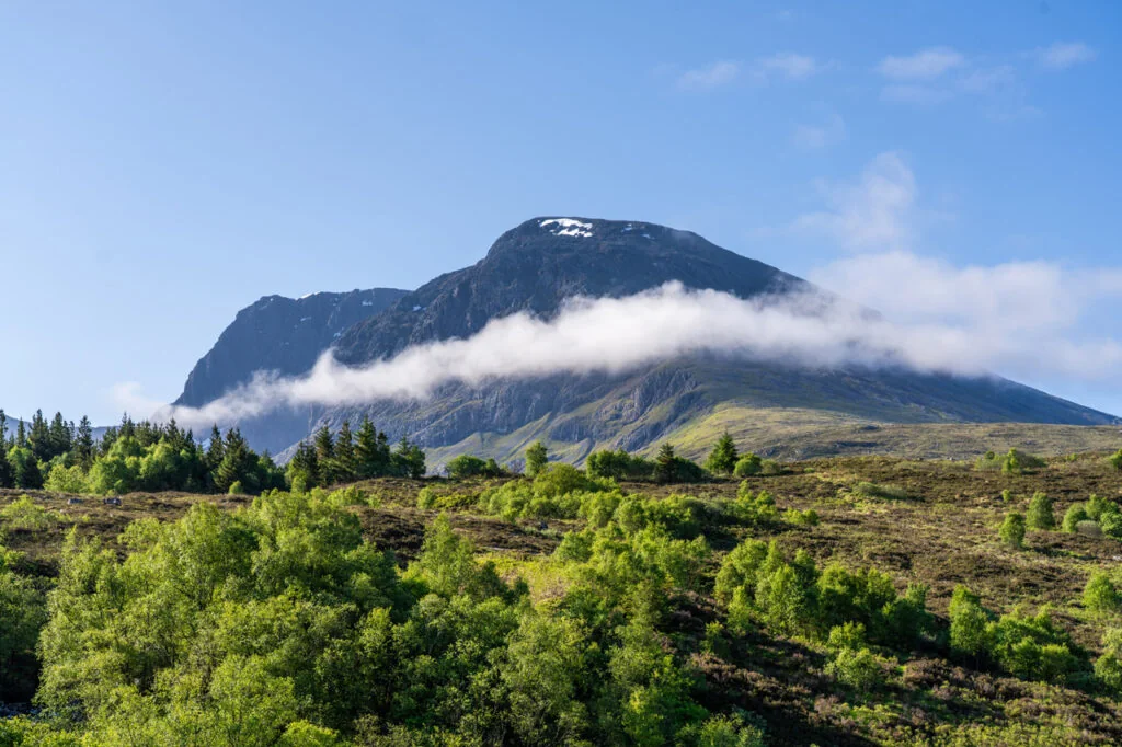
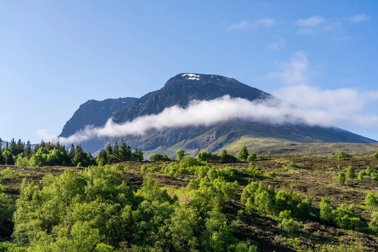
North of Appin, Loch Linnhe widens and the mountains take over. Ballachulish Bridge brings the first views east to Glencoe, and the road follows the loch through Onich as Ben Nevis grows on the horizon. Fort William arrives at the meeting point of three lochs, the mountain filling the skyline ahead — one of the WC300’s great arrival moments.
WC300 Weather
Forecast for key points along this route segment. This is the basic forecast; members unlock deeper route-aware weather intelligence.
Basic weather is available to everyone. Members get deeper route-aware forecasts, including the next few hours, 7-day outlook, start/mid/end route conditions and practical guidance for when to drive, stop, walk, photograph and explore.
Explore WC300 Membership Designed for real journeys on the WC300 Core Route and WC300+ Extensions.Pause Here
Short walk from the bridge to the shoreline. Most dramatic at low tide when the tidal falls are running. Worth checking tide times in advance.
Members
Unlock more scenic pauses, viewpoints and worthwhile stops along this stretch.
Members unlock 3 more places to pause on Oban → Fort William
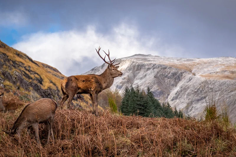
Wild Neighbours
Red deer roam freely on the edge of forest and hill.
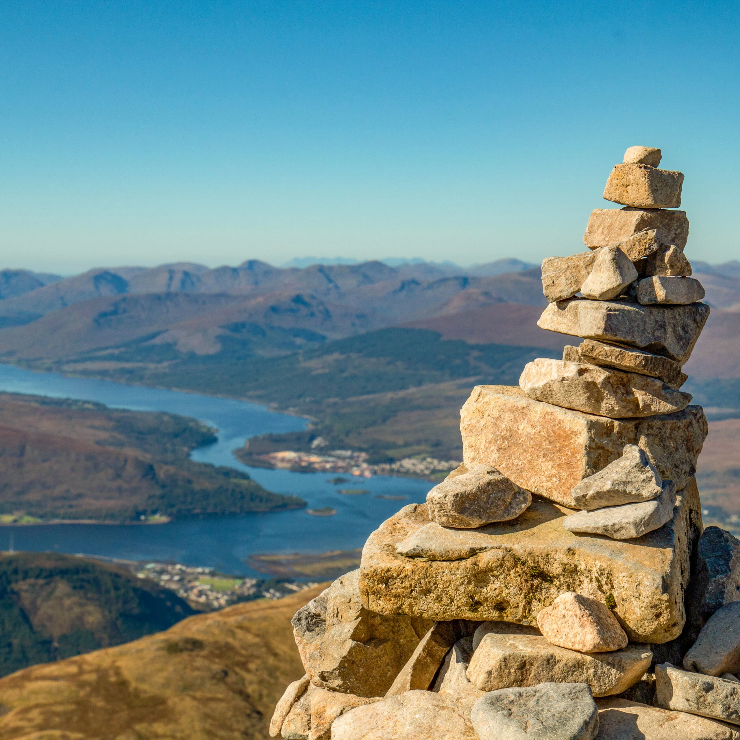
UK’s Highest Peak
Ben Nevis rises above Fort William as the highest mountain in the United Kingdom.
At the Foot of the Mountains
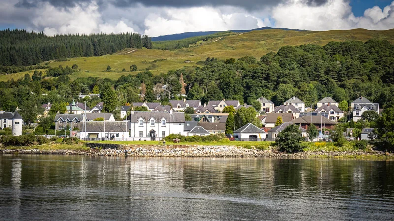
Fort William sits where loch, town and peaks converge.
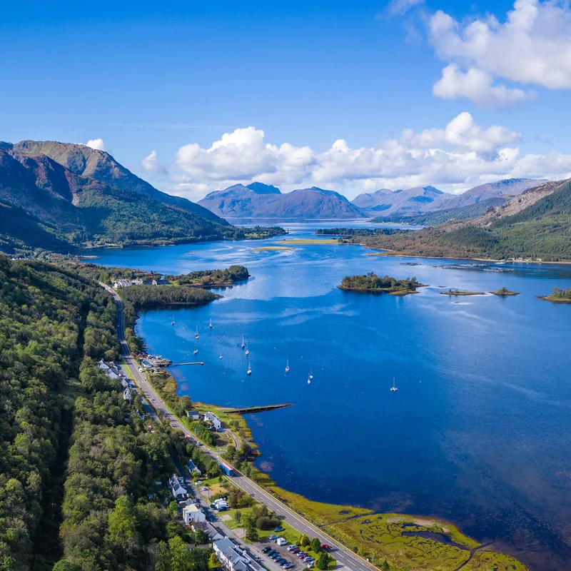
Following the Water
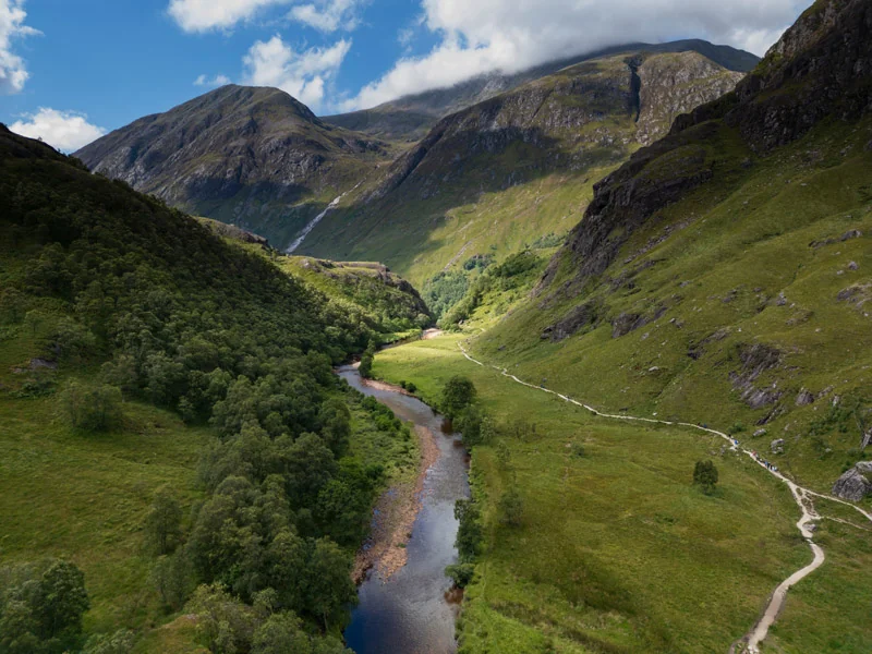
The road traces Loch Linnhe, with mountains rising on either side.
The route leaves Oban past the working harbour – CalMac ferries, fishing boats and island views across the Firth of Lorn. A purposeful send-off from the WC300’s first major town.
The A828 crosses Loch Etive at Connel via a cantilever bridge built in 1903. Below, the Falls of Lora form as the tide forces water through the narrows – one of the few tidal waterfalls in Scotland and most dramatic at low tide.
The A828 through Appin runs close to the shoreline with Loch Linnhe opening to the west and the hills of Morven across the water. One of the quieter and more rewarding stretches of the segment – unhurried, coastal and consistently scenic.
A 15th-century tower house on a small tidal islet in Loch Laich. Privately owned and not open to the public, but the view from the road and the shoreline is among the most striking on the entire WC300. The castle appears suddenly from the road with no advance warning.
The crossing of Loch Leven at Ballachulish is a significant transition point. The view from the bridge approach – Loch Leven reaching east into the mountains, the hills of Glencoe closing in – gives a first clear sense of the wilder country ahead.
East of Ballachulish, Loch Leven reaches deep into the mountains toward Kinlochleven and the Mamores. The loch is narrow, enclosed and dramatically framed – a foretaste of the Glencoe landscape visible in the distance.
The final miles follow the shore of Loch Linnhe closely. The loch is broad and tidal, the light across the water changing constantly. Ben Nevis grows on the horizon with every mile driven north.
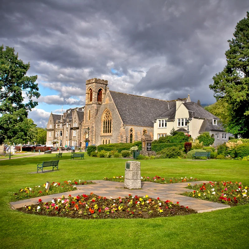
Ben Nevis dominates the arrival into Fort William. At 1,345 metres, Britain’s highest mountain rises directly above the town, giving the whole setting a scale and drama that can easily catch first-time visitors by surprise. Fort William sits where Loch Linnhe, Loch Eil and the Great Glen meet, but it is the mountain — vast, changeable and impossible to ignore — that gives the town its real sense of place.
Photography Highlights
The castle reflected in the still water of Loch Laich with the hills of Morven behind. Early morning before wind disturbs the surface. The view from the shoreline path is stronger than from the road pull-in.
Best time: Early morning
Best season: April–October; winter for dramatic skies
Photography Highlights
Tidal water forcing through the narrows below Connel Bridge. Most dramatic at low tide. Wide-angle from the shoreline captures both the falls and the bridge structure above.
Best time: Low tide
Best season: All year
Members
Unlock more viewpoints, compositions and photography opportunities along this stretch.
Location, timing and composition guidance for better results.
Members unlock 3 more photography locations on Oban → Fort William
Lesser Known Stops
A short detour from the A828 leads to a quiet working harbour with views across to Lismore and the Lynn of Lorn. The passenger ferry to Lismore departs from here. Almost entirely off the tourist radar.
Lesser Known Stops
The A828 crosses the head of Loch Creran between Benderloch and Appin. The loch reaches inland through wooded country – the views from the bridge and shoreline are overlooked by most travellers focused on the road ahead.
Members
Unlock more quiet corners, overlooked places and local discoveries along this stretch.
Members unlock 1 more lesser-known stop on Oban → Fort William
Allow Extra Time For
Worth timing against the tide if possible. A low tide visit takes no more than 30 minutes including the walk from Connel and adds considerably to the experience.
Allow Extra Time For
The pull-in view is good; the short walk to the loch shore is better. Allow 20–30 minutes to reach the waterline and find the best angle rather than stopping at the road.
Members
Unlock more worthwhile stops, short walks and places that deserve a little longer.
Members unlock 1 more place worth slowing down for on Oban → Fort William
Wildlife Intelligence
Local Knowledge