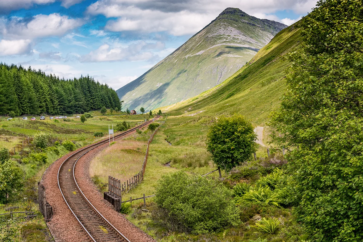

Moors, Mountains & Open Space

Glencoe → Crianlarich

Where the mountains loosen their grip and the road meets vast open moorland on the way to the village crossroads

~24 miles

Approximately 39 km

~1hr

(Direct)

Half day to 1 day

Do not rush this section — Rannoch Moor makes it one of the most powerful stretches of the WC300 Core Route
Towering mountains, open moorland and dramatic driving
Buachaille Etive Mòr viewpoint · Rannoch Moor · Bridge of Orchy · Tyndrum · Crianlarich
Medium — fuel at Tyndrum
Patchy — notable gaps around Rannoch Moor; EE most reliable
Tyndrum · Crianlarich

Moors, Mountains & Open Space

Overview: Glencoe – Crianlarich

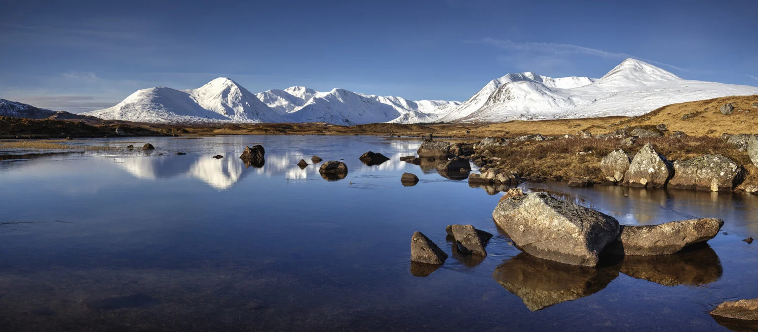
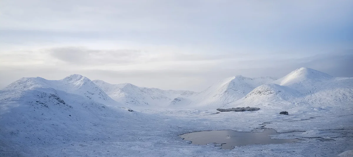
Leaving Glencoe, the land begins to breathe again — peaks recede and the glen’s enclosing drama gives way to a wider Highland vastness. The road skirts Rannoch Moor, a 50-square-mile expanse of peat bog and lochans that feels like a world apart, its mood shifting constantly under changing skies.

The A82 carries you gently through this quieter stretch, a natural release after Glencoe’s intensity. By the time Crianlarich comes into view, roads meet and services return — a pause between grand landscapes rather than between destinations.

Weather

WC300 Weather

Basic route weather

Forecast for key points along this route segment. This is the basic forecast; members unlock deeper route-aware weather intelligence.

Glencoe → Crianlarich
Mid-route Cloudy 6°C
Rain
6%
Wind
4 mph WNW

Unlock full WC300 weather intelligence

Basic weather is available to everyone. Members get deeper route-aware forecasts, including the next few hours, 7-day outlook, start/mid/end route conditions and practical guidance for when to drive, stop, walk, photograph and explore.

Explore WC300 Membership Designed for real journeys on the WC300 Core Route and WC300+ Extensions.
Last updated: 2026-08-22 08:15:25 Powered by Met Office data

Pause Here

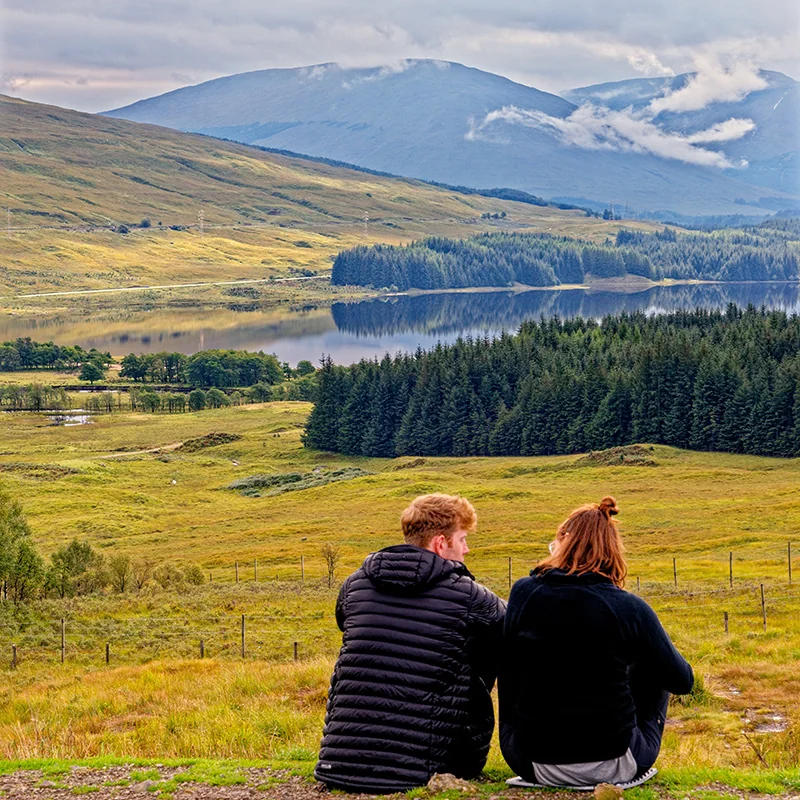
Loch Tulla viewpoint

The elevated A82 viewpoint above Loch Tulla is one of the most rewarding stops on this section. From here, the view extends across the loch towards the Black Mount, with the road descending towards Bridge of Orchy below.
Things to see and do

Route Highlights

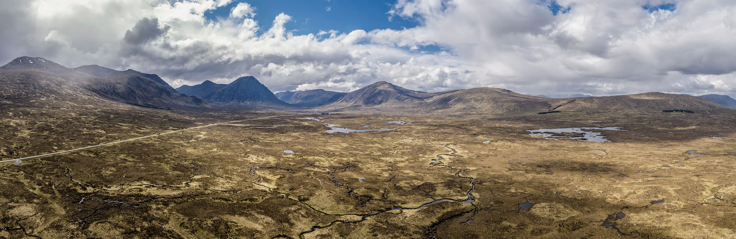
Aerial view of the A82 crossing Rannoch Moor towards Buachaille Etive Mòr

Rannoch Moor is a vast area of peatland, lochans and winding burns. The A82 follows its western edge towards Buachaille Etive Mòr, with few buildings or services across the exposed crossing.

Wildlife & Nature

Wildlife Intelligence

  • Red deer – herds range across Rannoch Moor and come down to lower ground and roadsides in colder months; most visible early morning
  • Golden eagle – hunts over the moor and surrounding hills; scan the high ground on clear, still days
  • Black grouse – found in the moorland and forest fringe around Bridge of Orchy; most active at dawn leks in spring
  • Hen harrier – quarters low over the open moor; look for its distinctive slow, tilting flight
  • Otter – present along the burns and lochans feeding into the moor; early morning and dusk most productive

Local Knowledge

Local Knowledge

  • There’s no fuel between Glencoe and Tyndrum – don’t rely on finding anything on the moor itself
  • The best Rannoch Moor viewpoints are informal laybys rather than marked stops – slow down and look for pull-ins
  • Red deer graze close to the road in winter, particularly around dawn – worth an early start
  • The Green Welly Stop in Tyndrum is the natural break for fuel, food and toilets before Crianlarich
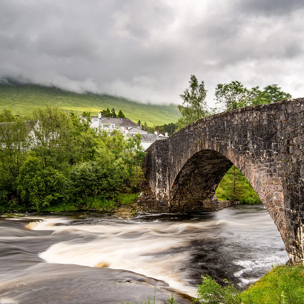
  • Bridge of Orchy’s setting, framed by the surrounding hills, is worth a few minutes even without stopping for long
  • Cononish gold mine – Scotland’s only working gold mine, near Tyndrum; closed in 2023 under previous owner Scotgold Resources, bought by South African firm Acrux in 2025, and back in production since early 2026

Good to Know

  • Fuel – Green Welly Stop, Tyndrum (roughly 7am–7pm); none at Bridge of Orchy or on the moor itself
  • Toilets – Tyndrum, Bridge of Orchy, Crianlarich
  • Mobile signal – patchy across the open moor; improves at Tyndrum and Crianlarich
  • Rannoch Moor – no fuel, food or facilities for around 20 miles; plan ahead before crossing
  • Parking – large car park at the Green Welly Stop, Tyndrum; informal laybys along the A82 for moor viewpoints
  • Weather – can close in quickly on the moor; check conditions before setting off in winter
  • Road type – A82 throughout; well surfaced, exposed to wind and snow at altitude

Did You Know?

The railway had to float across the moor

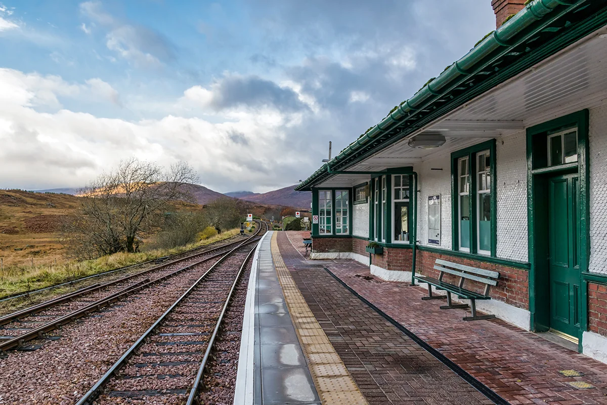
When the West Highland Line was built across Rannoch Moor, ordinary embankments sank into the deep peat. Engineers laid the track on a supporting mattress of tree roots, brushwood, earth and ashes instead.

History & Cultural

  • Rannoch Moor – shaped by glacial activity around 20,000 years ago; its flat granite base and deep peat make it one of Europe’s last true wildernesses
  • West Highland Way – the long-distance path crosses the moor on an old military road between Bridge of Orchy and Glencoe, used by generations of walkers
  • Tyndrum – founded in the 1740s where old drove roads and lead mining converged; later known for its 19th-century gold rush
  • Cononish gold mine – Scotland’s only working gold mine in recent years, operating near Tyndrum until its closure in 2023
  • Bridge of Orchy – named for the 18th-century military bridge over the River Orchy, part of the network built to move government troops through the Highlands

Glencoe → Crianlarich